- Photos & Map
How would you like to arrive?
- Description
- Good to know
- Nearby
- 24:00 h
- 840.76 km
- 5,843 m
- 7,230 m
- 373 m
- 2,429 m
- 2,056 m
- Start: Andermatt
- Destination: Geneva
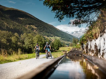
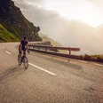
The route starts in Andermatt and follows the course of the Rhone to Geneva. It is 350 kilometers long and combines very different landscape types. In Valais, the route extends from Oberwald to Le Bouveret and can be completed in several daily stages. It crosses Valais with an impressive mountain backdrop on charming and quiet paths along the Rhone. The route mostly runs downhill with some climbs. From Brig, it is almost completely flat and also well suited for leisure riders.
Good to know
Pavements
Best to visit
Directions
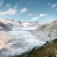
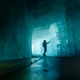
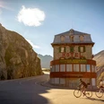
The Rhone Route begins with a solid climb from the treeless alpine pastures of the Urserental up to the Furka Pass. The dusty descent leads past the melting ice towers of the Rhone Glacier. It then goes a bit more leisurely through the Goms, the wide sunny high valley of the young Rhone. Flower meadows and the scent of resin accompany you almost to Brig, the main town of Upper Valais. The main valley widens, the sun heats the dry mountain slopes. In front of the lively towns of Sierre and Sion, a wild stretch of the Rhone spreads out on a huge debris cone; the nature reserve “Pfynwald”. The Dents du Midi dominate the mountain scenery in the lower Rhone valley. It is the world of orchards and vineyards. Lake Geneva is a small silvery sea, surrounded by snow-capped peaks and the vineyard landscapes of Lavaux and La Côte. Along the shore are the towns of Vevey, Montreux, the lively Vaud metropolis Lausanne, Nyon, and the world city of Geneva.
Tour information
Stop at an Inn
Equipment
Directions & Parking facilities
Additional information
View this route on SchweizMobil:
Literature
Author´s Tip / Recommendation of the author
Get an impression of the different castles along the route: Stockalperschloss in Brig, the castles of Valère and Tourbillon in Sion, the castle of Saillon or the Château de Chillon on Lake Geneva are worth a visit. For relaxed cyclists, a visit to a winemaker in one of the numerous Valais vineyards – the largest wine region in Switzerland – is recommended.
Safety guidelines
Respect the rules of Swiss road traffic. Riding this route is at your own risk, any liability is excluded. Respect the flora and fauna in your surroundings. For your safety, we recommend wearing a bicycle helmet. Emergency numbers: 144 ambulance / 117 police / 1414 Rega. Assess your own skills and fitness well. Riding the different routes is fundamentally at your own responsibility.
Map
Nearby


