- Photos & Map
How would you like to arrive?
- Description
- Good to know
- Nearby
Download GPX file
- 2:00 h
- 5.50 km
- 233 m
- 233 m
- 1,213 m
- 1,350 m
- 137 m
- Start: Niederwald, train station
- Destination: Niederwald, train station
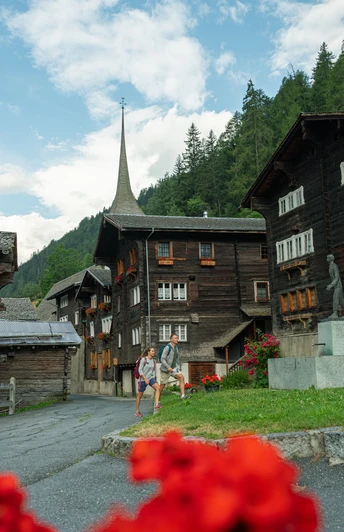
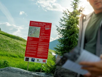
The "Cäsar Ritz Life Route" is a bilingual, self-explanatory, and chronologically structured themed path. It offers the hiker around five kilometers of interesting and informative insights into the life and work of the world-famous Goms hotel genius Cäsar Ritz. The route choice of the path was adapted to the life of Cäsar Ritz: a bumpy, rocky start that levels out and finally opens to wide paths. On the six information boards you learn more about the world-renowned "Ritz philosophy": principles that place great value on comprehensive hospitality, gastronomy, boundless luxury, and sophisticated architecture, thus making the hotel as an overall artwork a place where kings stay. The information boards were placed at locations whose special features symbolize the respective life phase of "Ritz."
Good to know
Best to visit
Directions
The "Cäsar Ritz Life Route" starts at the Niederwald train station, then goes around the village of Niederwald. Next, follow the path on the sunny side of the valley to Blitzingen. From Blitzingen, it goes to the lower-lying Bodmen. From Bodmen, you now walk back through the forest on the shady side to Niederwald.
Tour information
Cultural Interesting
Loop Road
Stop at an Inn
Equipment
We recommend:
- Good footwear and hiking poles
- Sun and rain protection as well as warm clothing
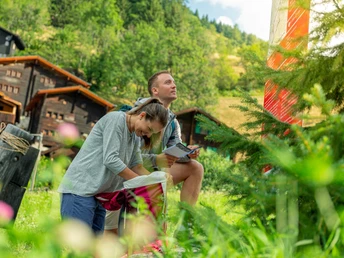
- Detailed maps or informational material with good route preparation
- Provisions for your day in the open nature
- First aid kit and mobile phone for emergencies
Directions & Parking facilities
Additional information
- Summer report at https://www.goms.ch/sommersportbericht
- Timetable www.sbb.ch
- Emergency service phone number: 144
Author´s Tip / Recommendation of the author
If you observe the course of the path very carefully, you will recognize that it exactly corresponds to the life of Cäsar Ritz.
Safety guidelines
Use of the hiking trails is at your own risk. Obergoms Tourismus AG disclaims all liability and assumes no responsibility for the accuracy and completeness of the information on this website.
Carry a hiking map with you or download the complete description of the hiking trail with a large-scale map. Use only marked trails and observe all signs and indications—for your own safety, to protect the landscape, and out of respect for wildlife. Be considerate towards other trail users. Take your waste and others’ waste with you.
Weather conditions in the mountains can change very quickly and without warning. Appropriate clothing and sufficient provisions (food and drink) are very important. In case of unstable weather, it is advisable to turn back early. Carry additional sun protection. UV rays at altitude can be very strong, even on cloudy days. Plan your route carefully and thoroughly. Inform yourself in advance about current conditions and weather. The summer report provides valuable information from the region in this regard.
Map
Nearby

