- Photos & Map
How would you like to arrive?
- Description
- Good to know
- Nearby
Download GPX file
- 0:30 h
- 519 m
- 26 m
- 26 m
- 1,243 m
- 1,268 m
- 25 m
- Start: Station Ritz, Niederwald
- Destination: Station Ritz, Niederwald
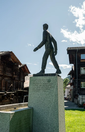
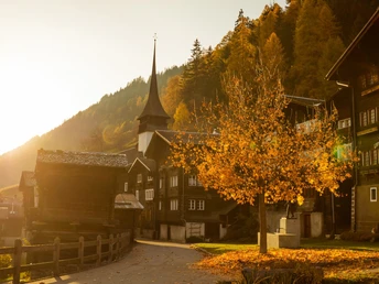
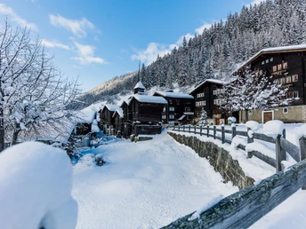
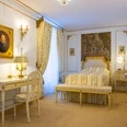
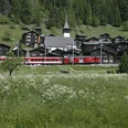
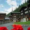
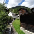
As a supplement to the Cäsar Ritz exhibition in the Station Ritz at Niederwald station, a village walk now leads through the historic village center of Niederwald. At four stations you get to know the most important buildings of Niederwald and can learn about the extraordinary personalities of the village. The media guide, which is available free of charge in the bistro of STATION RITZ, complements the information on the panels of the Niederwald village walk.
Good to know
Pavements
Best to visit
Directions
Tour information
Cultural Interesting
Loop Road
Suitable for Pushchair
Equipment
We recommend:
- Waterproof footwear and hiking poles
- Headwear as well as warm and protective outdoor clothing
- Sun protection
- Detailed map or information material
Directions & Parking facilities
From Brig follow Cantonal Road No. 19 (Furka Road) for about 24 km to Niederwald.
The Goms is also well connected from the Zurich / Lucerne region via Andermatt - Furka Car Shuttle www.matterhorngotthardbahn.ch.
With the regional trains of the Matterhorn Gotthard Railway you can get from Brig to Niederwald in 53 minutes. The Goms is also easily accessible from the Zurich / Lucerne region via Andermatt - Furka Base Tunnel.
Timetables for trains and buses can be found at www.sbb.ch
Additional information
Literature
At the tourist information offices as well as in most hotels and restaurants in Obergoms you will find the following brochures:
- Summer and winter map Obergoms
- Holiday guide
Author´s Tip / Recommendation of the author
The Gommer Pass of the Matterhorn Gotthard Railway entitles the holder to free travel on the Oberwald - Fiesch Holiday Village route in 2nd class
Safety guidelines
The use of the theme trails is at your own risk. The Obergoms Tourism AG disclaims all liability and assumes no responsibility for the accuracy and completeness of the information on this website.
Local conditions may cause changes to the route. Carry a map with you or download the complete description of the theme trail with a large-scale map.
Carry additional sun protection. UV rays at high altitudes can be particularly strong in winter, even on cloudy days.
Map
Hiking map Goms, Rotten Verlag, 1:25,000
Topographic maps 1:25,000 Swisstopo: 1270 Binntal
Nearby

