Nufenen - Mythical Alpine Passes

Tip
13.73 km long
Difficulty: difficult
Condition: difficult
Bike Tour
  • 2:30 h
  • 13.73 km
  • 1,131 m
  • 1,347 m
  • 2,479 m
  • 1,132 m
  • Start: Ulrichen
  • Destination: Nufenen Pass
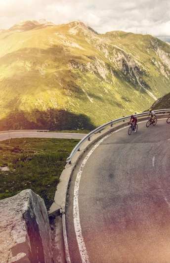
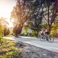
The Nufenen Pass is one of the great Swiss Alpine passes. Only the Umbrail Pass in Graubünden is higher. The pass, which connects the canton of Valais with Ticino, is a must for every cycling fan.

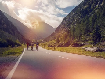
The route from Ulrichen may initially seem unspectacular, but soon the demanding ascent requires full effort and offers only a few breathing breaks until reaching the pass summit. The breathtaking landscape gradually unfolds to the committed cyclist with every kilometer traveled. Step by step, a mountain backdrop becomes visible on the way to the pass summit, from which the eternally snow-covered peaks majestically rise.

Valais/Wallis Promotion

Good to know

Pavements

Street

Best to visit

suitable
Depends on weather

Directions

Shortly after leaving Ulrichen, the cyclists get going right away thanks to the first hairpin bends. The route quickly allows the discovery of a wild nature with hundred-year-old fir trees, frost- and wind-shaped rocks, and rivers that plunge down the slopes in waterfalls. After the winding first kilometers, some long straight stretches follow with views of the beautiful mountain scenery that irresistibly beckons to the summits. Passing by a farm where goat cheese is sold—a good reason for a break—the final part of the ascent begins. This consists of some hairpin bends where the altitude becomes increasingly noticeable with every breath. At the pass summit, the view is magnificent, and a small alpine lake above the Val Bedretto—a Ticino valley that leads to Airolo—awaits discovery.

Tour information

  • Cultural Interesting

  • Stop at an Inn

Equipment

Our recommendation: Technically flawless bicycle, helmet, gloves and bell, weather-appropriate clothing (always carry: rain protection), drink and snacks.

Directions & Parking facilities

From Brig, follow canton road 19 (Furka road) for 37 km to Ulrichen. The Goms region is also well connected from the Zurich / Lucerne area via the Furka.
Parking spaces are available in the village of Ulrichen. Follow the local parking guidance system. 
With the regional trains of the Matterhorn Gotthard Bahn, you can reach Ulrichen from Brig in 1 hour 15 minutes. The Goms region is also well connected from the Zurich / Lucerne area via the Furka. You can find train and post bus schedules at sbb.ch. 

Additional information

More information about the destination: 

Literature

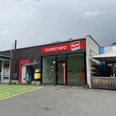
The tourism office in Obergoms provides you with information material and brochures on the destination's activities. 

Author´s Tip / Recommendation of the author

Visit the historic Goms villages with their sunburnt houses. 

Safety guidelines

Respect the rules of Swiss road traffic. Riding this route is at your own risk; all liability is excluded. Respect the flora and fauna in your surroundings. For your safety, we recommend wearing a bicycle helmet. Emergency numbers: 144 Ambulance / 117 Police / 1414 Rega. Assess your own abilities and fitness well. Riding different routes is fundamentally at your own responsibility.

Map

SwissTopo national maps: 1:25,000: 1250 Ulrichen / 1251 Val Bedretto 

Nearby

Location and Contact

Nufenen - Mythical Alpine Passes
3988 Obergesteln