Münster Airfield circular route


- 1:00 h
- 2.81 km
- 39 m
- 39 m
- 1,321 m
- 1,359 m
- Difficulty: easy
- Start: Münster, station
- Destination: Münster, station
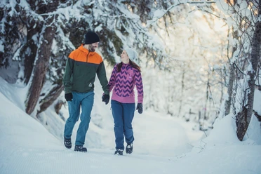
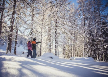
This easy circular route leads over the wide, sunny plain of the former Münster airfield. On this route, you can enjoy a beautiful view of the Goms mountain world and the mountain village of Münster.

Good to know
Pavements
Best to visit
Directions
Tour information
Loop Road
Stop at an Inn
Equipment
We recommend:
- Good footwear and sturdy poles
- Detailed maps or informational material with good route preparation
- Weather-appropriate (water- and windproof) warm clothing and headwear
- Sunglasses
- Good sun protection, even in cloudy weather. UV rays at high altitudes can be particularly strong in winter.
- Provisions for your day in the open air
Directions & Parking facilities
From Brig, follow the cantonal road no. 19 (Furka road) to Münster. Goms is also well connected from the Zurich / Lucerne region via Andermatt - Furka car shuttle train.
The Alpine passes Furka, Grimsel, and Nufenen are closed in winter. Timetables for the Furka car shuttle train can be found at www.matterhorngotthardbahn.ch
With the regional trains of the Matterhorn Gotthard Bahn, you can reach Münster from Brig in 1 hour 09 minutes. Goms is also easily accessible from the Zurich / Lucerne region via Andermatt - Furka Base Tunnel. Train timetables can be found at www.sbb.ch.
Additional information
- Winter sports report at www.obergoms.ch/wintersportbericht
- Rescue service phone number: 144
- Avalanche bulletin and snow conditions at www.slf.ch
Literature
At tourist information centers, at the sales points of the Goms trail, and in most hotels and restaurants in Obergoms, you will find the following brochures:
- Obergoms winter map with trail plan
- Holiday guide
Author´s Tip / Recommendation of the author
Safety guidelines
Use of the winter hiking trail is at your own risk. Obergoms Tourismus AG disclaims all liability and assumes no responsibility for the accuracy or completeness of the information on this website.
Plan your route carefully and thoroughly. Inform yourself in advance about the current conditions (avalanche danger, cross-country ski trails, winter hiking trails, snowshoe trails, and road conditions) and weather. The winter sports report provides valuable information from the region.
Carry a hiking map with you or download the complete description of the hiking trail with a large-scale map. Use only signposted paths and observe all markings and signs - for your own safety, to protect the landscape, and out of respect for wildlife. Behave considerately towards other path users. Take your rubbish and that of others with you.
Weather conditions in the mountains can change very quickly and without warning. Appropriate clothing and sufficient provisions (food and drink) are very important. In unstable weather, it is better to turn back early.
Carry additional sun protection. UV rays at high altitudes can be very strong, especially in winter, even under cloudy skies.
Map
Nearby


Download GPX file